Water Levels
Lake Michigan and Lake Huron (which includes Georgian Bay) are one body of water, connected at the Straights of Mackinac. Total surface area about 46,000 square miles. The odd thing is, the level of this huge body of water can fluctuate as if it was a puddle. Between 2013 and 2021 the surface level changed by seven feet. That’s a lot of water.
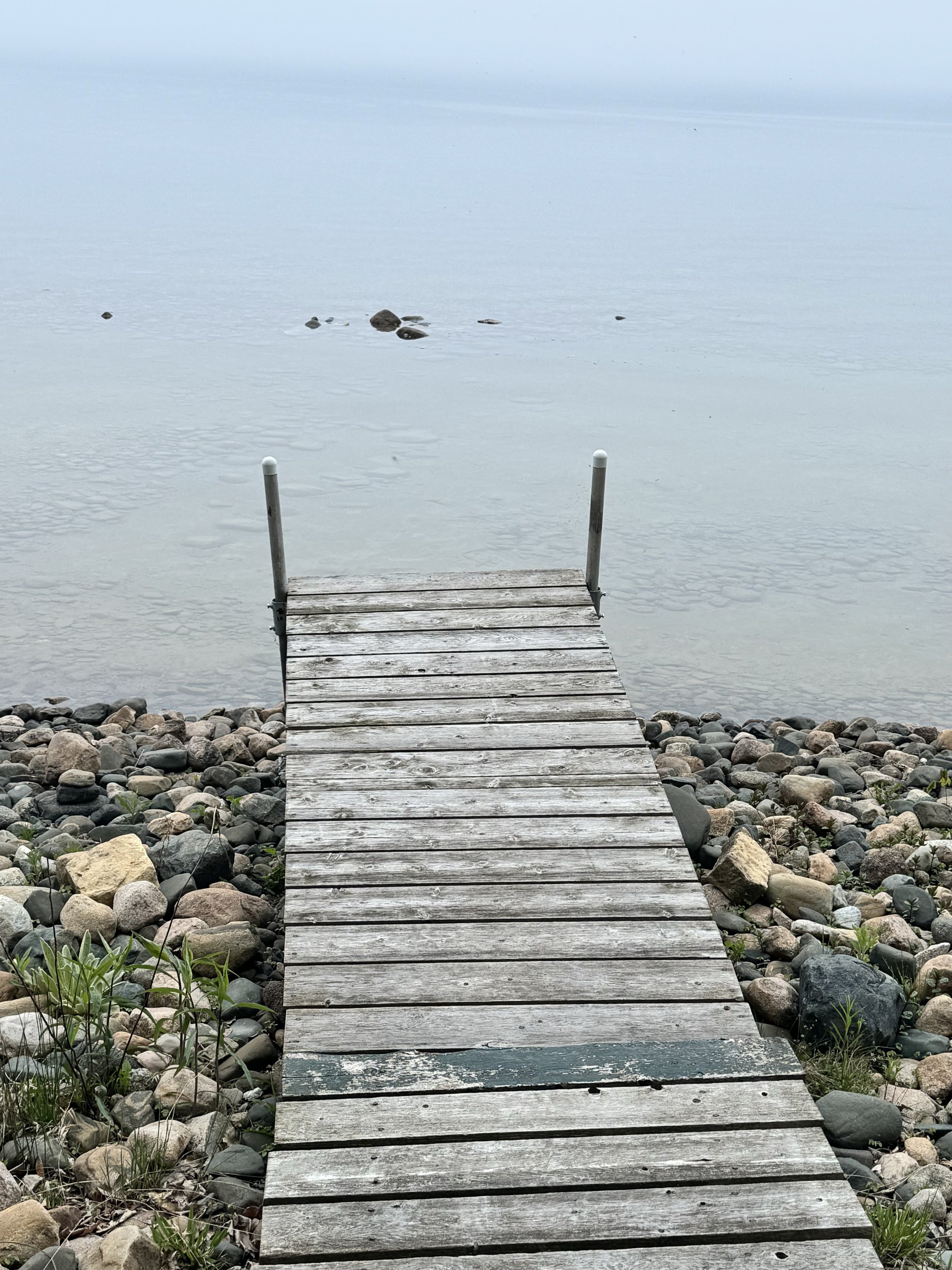
Above, a photo taken when we first arrived this year. When we departed here last fall the rocks were not visible. Now that they are, I’m using them as my water level gauge. As of today, they are still visible, although historically the level of the lakes rises all spring and early summer.
While we’ve had very little precip on Manitoulin, weather apps and radar apps keep showing bands of storms coming across Wisconsin, Lake Michigan, and the state of Michigan. Which makes me hopeful the the rocks out front will not be visible when August comes around.
BTW: yesterday’s photo was of the rosette of a giant mullein, a non-native biennial that very successfully occupies disturbed landscape. Each plant can produce 250,000 tiny seeds that can persist in the ground for 100 years. First year the rosette, second year the seed stalk which can reach 7 feet in height. Some folks plant them as ornamentals, but the common species is considered invasive. It’s okay to pull them out.